Home
Kingston & Eastern Ontario
Drone imaging, inspection & mapping you can rely on
Real estate video, thermal inspections, RTK site mapping and first responder training — flown by a 32-year first responder and Transport Canada flight reviewer.
Kingston’s professional drone company for photography, inspection and mapping
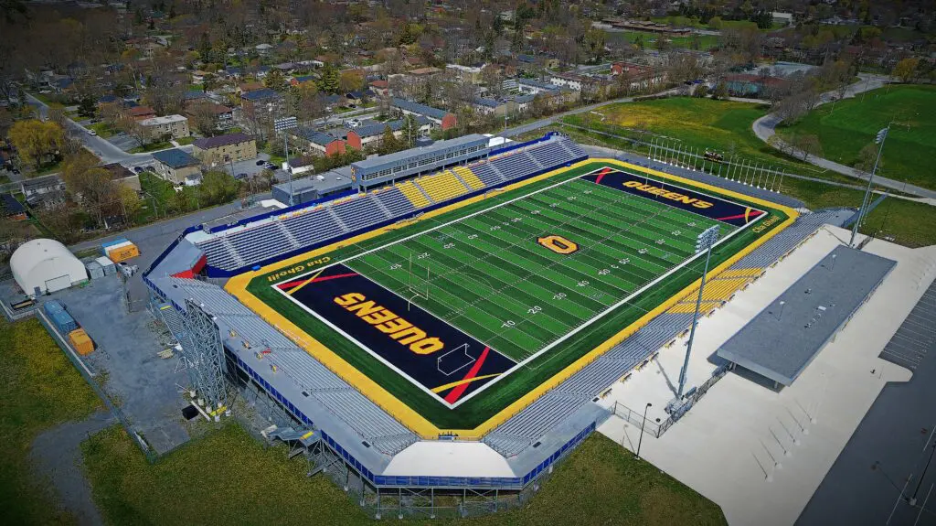
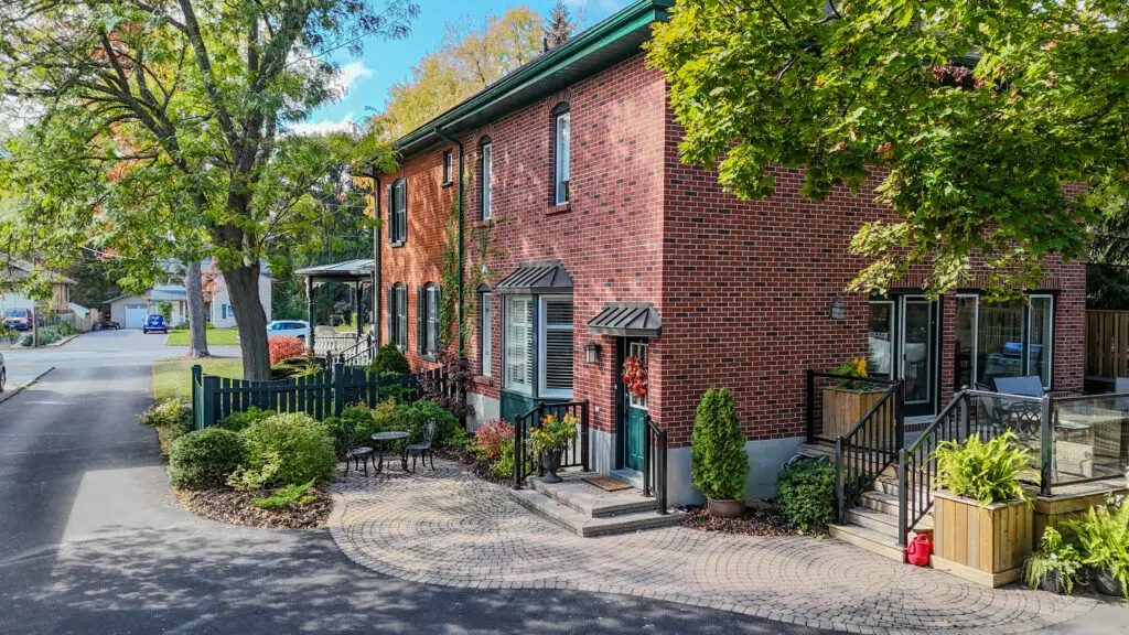
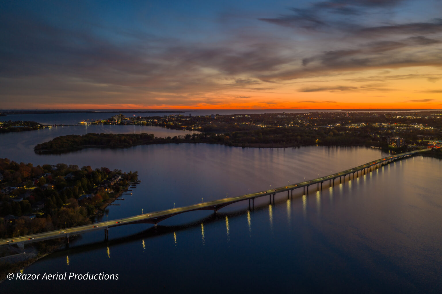
Razor Aerial Productions Inc. flies aerial photography and 4K video, real estate listing photos and video, thermal roof and building inspections, RTK mapping and surveys, construction progress flights and first responder drone training. We work across Kingston, Napanee, Belleville, Prince Edward County, Gananoque, Brockville, Perth, the Ottawa Valley and on to Toronto, with Transport Canada certified pilots, full insurance and Nav Canada flight authorization handled for you.
Trusted across Eastern Ontario
Clients we’ve flown for
Government, municipalities, developers, engineers, conservation groups, marine operators and Realtors® — from Kingston to Toronto and the Ottawa Valley.