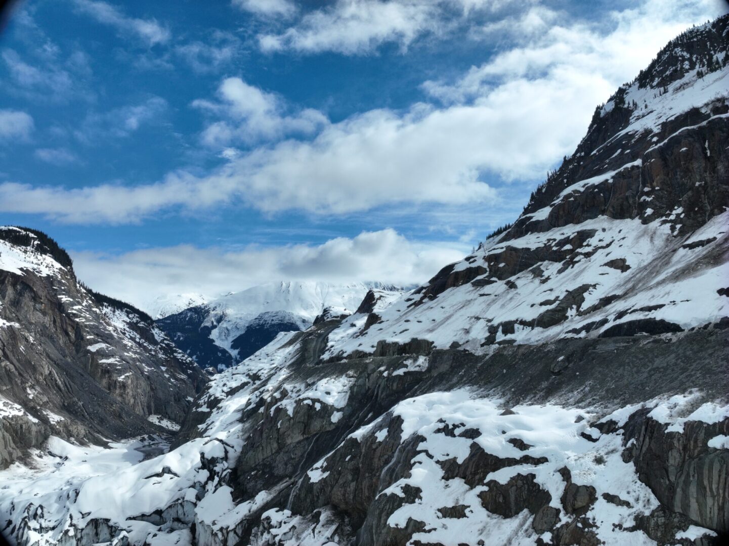
DRONE PHOTOGRAPHY AND VIDEO FOR ANY PROJECT
REAL ESTATE - RESIDENTIAL OR COMMERCIAL PROPERTIES
Real Estate or Promotional Video and Photos
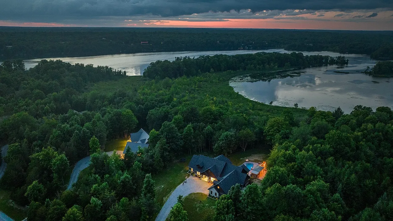
We can produce a high-quality, professionally edited video of your listing or brand presenting an aerial perspective of your property.
We customize the flight to fill your needs, with an exterior flight to capture a seamless flow of your property.
See our price menu for details.
Interior Drone Footage
Allow our team to pilot a stabilized drone safely around and through your listing to create a unique first-person viewing event.
CREATE A UNIQUE IMMERSIVE VIDEO with our ability to fly inside any building or structure.
Request Unedited Video/ Photos of Your Property
If you don't require a post-edited video, we can produce a raw, unedited video of your location or property.
High-definition digital aerial photography HDR and/or 4k Video can be produced and delivered to your marketing team so that you can create your own edited video or photo slide show.
See our price menu for details.
PROPERTY SURVEY OR JOB SITE INSPECTION - WITH OUR RTK DRONES
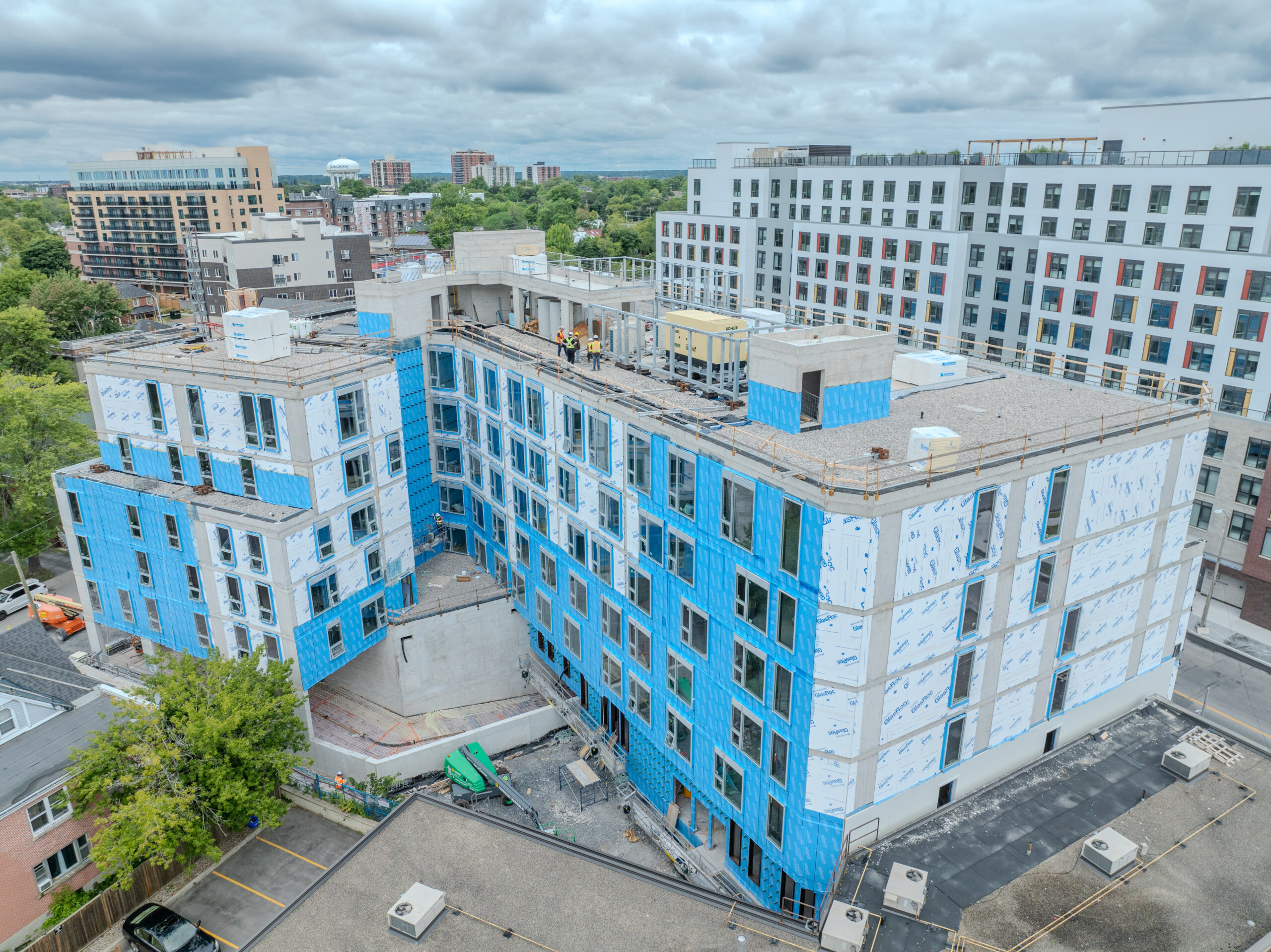
Interval Construction Site Inspections
Providing Construction Site RTK - Precision Drone Mapping from the GTA, Kingston, and Eastern Ontario Region.
Create a digital twin with cm accuracy of your job site with an in-depth analysis of projects all in a single flight.
The Client Exports included:
Georeferenced Orthomosaic, Elevations (GeoTIFF, raw elevations, and Contours .dxf/Contours .shp @ 1-5 meter intervals)
Digital Terrain Model (GeoTIFF, raw elevations (DTM), and Contours .dxf/Contours .shp @ 1-5 meter intervals)
3D Model (.obj)
3D Point Cloud (.las, .xyz)
The results can be imported into Civil AutoCAD to create various outputs for planning purposes with your design team.
Utilize this service for construction site planning, large real estate properties, reconstruction, post-construction, property management, and interval site inspections.
Keep stakeholders informed, weekly or monthly, through a real-time digital twin of your job site.
THERMAL DRONE INSPECTIONS ITC TRAINED AND CERTIFIED
Ask about our Thermal Industrial Drone Inspection Services
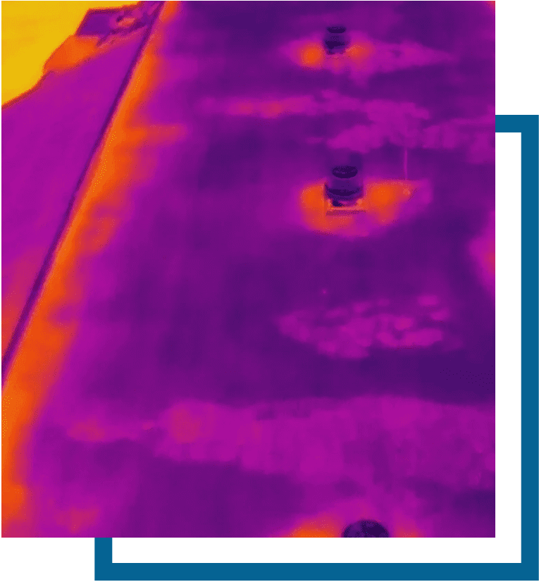
Inspections of solar panels, building heat loss, electrical grid, cell and utility towers, or low-sloped roof thermal inspections - conducting evaluations for moisture, thermal anomalies, and water penetration
Industrial Thermal Drone Inspection and non-destructive examination by visualization of heat distribution.
Our pilots are ITC accredited and certified to North American standards by FLIR.
We have the proper knowledge, the latest equipment, and training for your thermal inspection.
CONSTRUCTION, LANDSCAPING OR INFRASTRUCTURE INSPECTION
Infrastructure or Roof Inspection
To determine damage to masonry and roof surfaces or examine structural integrity on elevated infrastructure such as bridges.
Ideal for structural engineering or maintenance inspections.
SAFE, TIMELY AND EFFICIENT
CALL US FOR A FREE QUOTE and details on a roof report
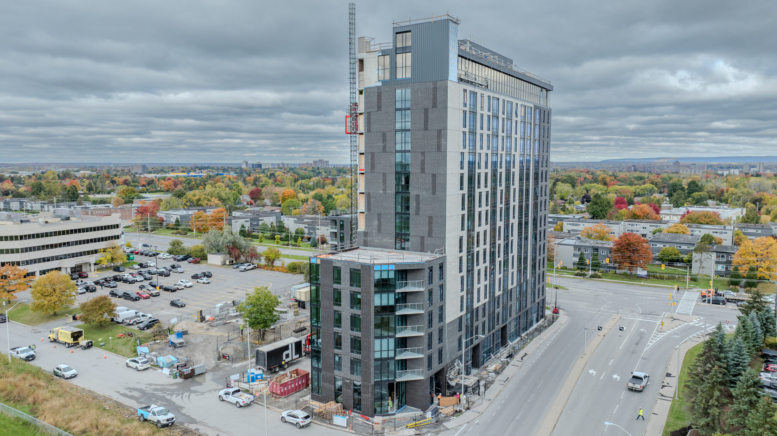
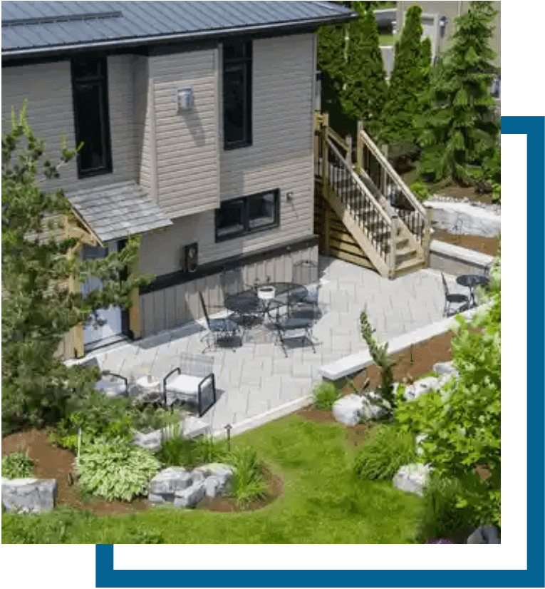
Landscape or Construction Company Portfolio
Ideal for capturing your company's work, landscape, or construction projects from beginning to end.
Track your project or call us to capture a completed job with photos or a promo video to support your brand.
Promote your branding, portfolios, and social media.
Capture those Aerial Shots in stunning detail.
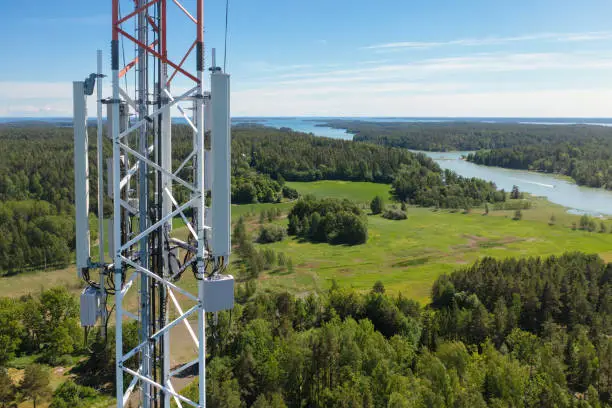
Tower Inspection
Why Climb scaffolding or ladders and risk injury?
We can provide tower inspections at a fraction of the cost with no risk to personnel.
Conduct a visual or Thermal inspection of Communications Towers, Water Towers, Antennae or any scalable tower in a fraction of the time.
We can remotely broadcast to your office from a job site!
CONTACT US TO DISCUSS DETAILS
AGGREGATE CALCULATION
Aggregate Maps And Stockpiles
Using RTK-equipped drones to conduct up-to-date 2D and 3D maps of aggregate pits allows for precise recording of aggregate removal and inventory of stockpiles.
Detailed reporting using drones makes for faster and more accurate annual compliance reporting.
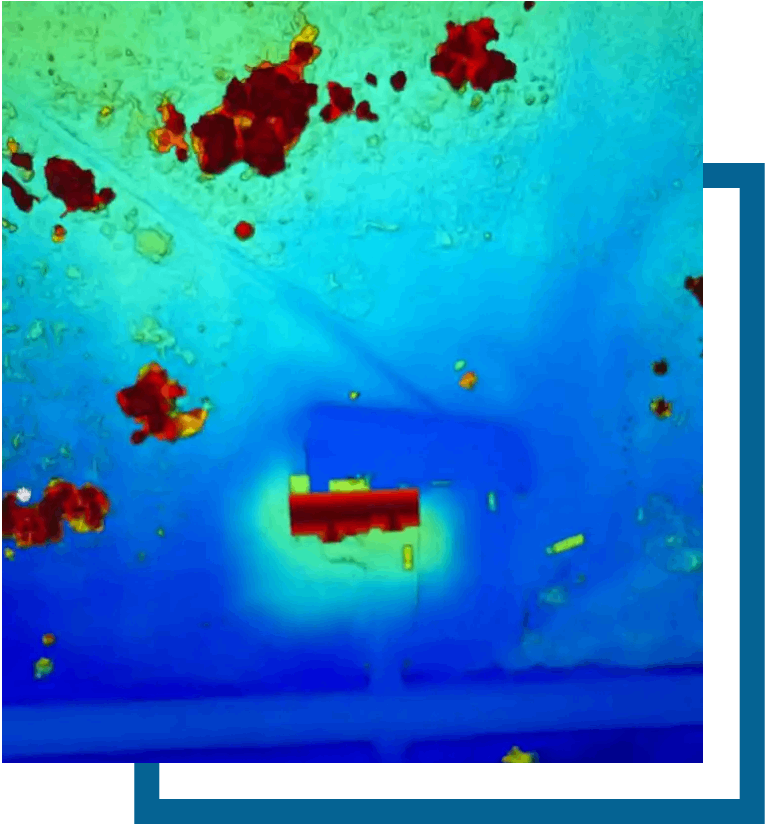
PROPERTY DRAINAGE ISSUES
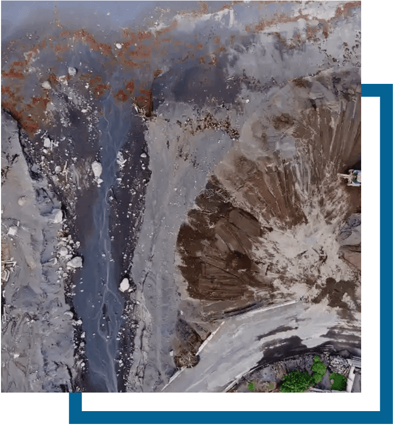
Create an aerial Map with our Software to examine your property drainage and water flow.
Rain Drainage, Erosion Control, or Irrigation Inspections with a report from our data collection.
Call or Email for details.
VIDEO CUSTOMIZED TO YOUR PROJECT NEEDS
Create an Event Video
We have covered sporting events, boat races, track and field events, concert venues, Music Videos, and local tourism.
Ask about a customized flight package that includes digital stills, or video with embedded subtitles and music for your project.
Request a quote.
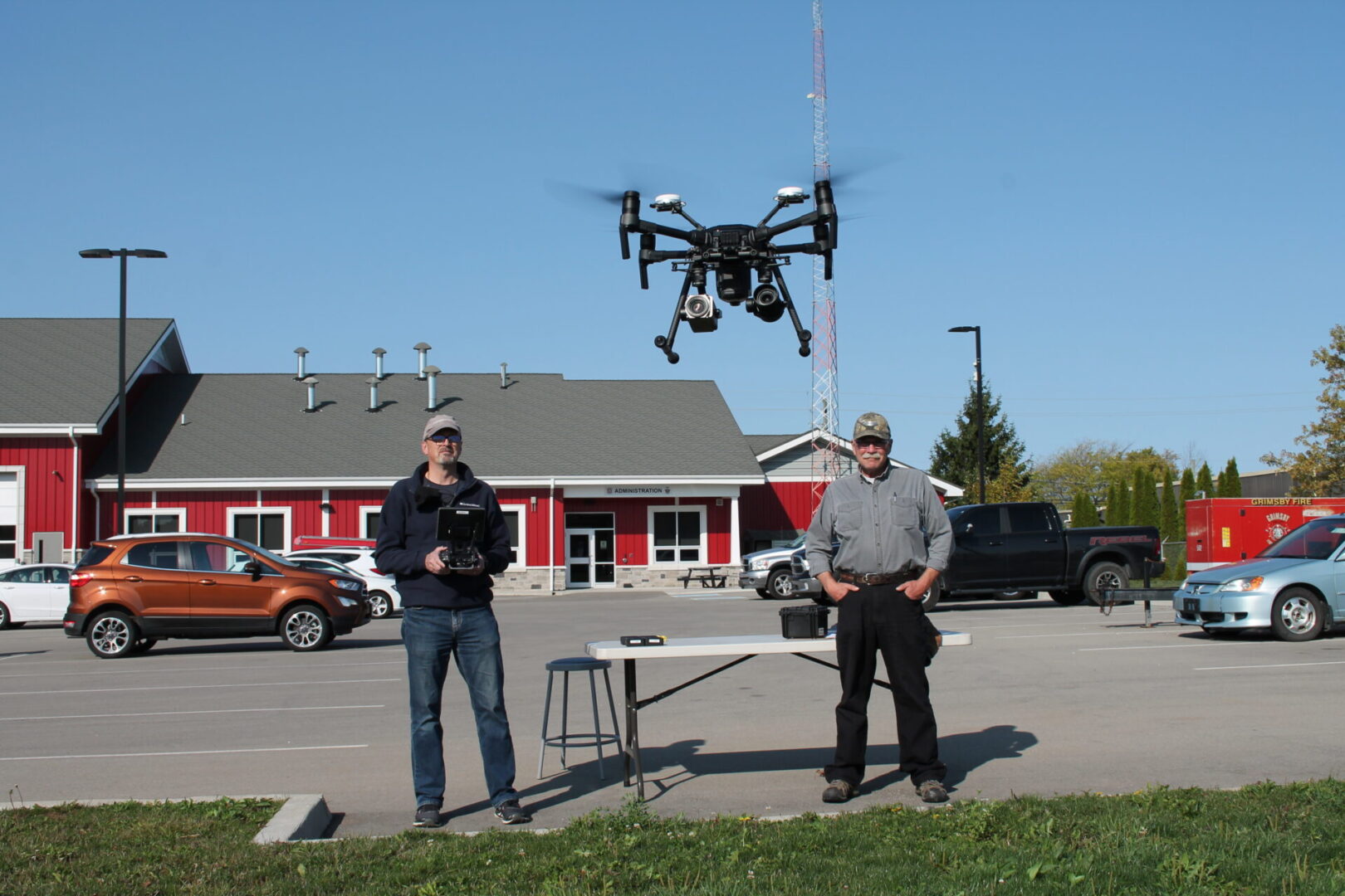
NEED TRAINING ASSISTANCE?
Transport Canada Flight Preparation, or require an Advanced Flight Review - Contact Us!
We bring over 2000 hours of operational flight experience with our team.
We have trained law enforcement personnel, firefighters, military, mining, and public safety partners in advanced drone operations-
References available.
PROFESSIONAL POST-EDITING
We provide a full service with video, photography, and custom post editing for your project needs.
Working with the client to capture exactly what is required to showcase the project.
Post-editing will include soundtrack, branding, and subtitles as requested.
