PRICING FOR DRONE PHOTOGRAPHY AND VIDEO
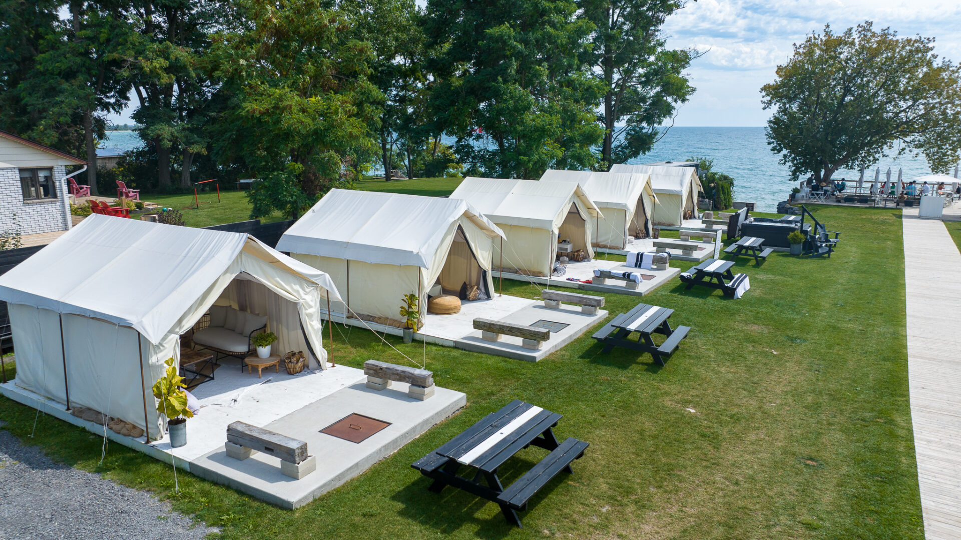
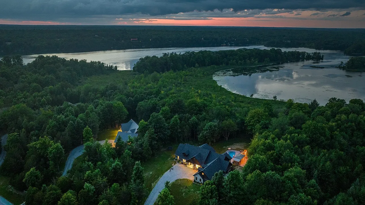
Real Estate Pricing - Drone footage at competing cost
$285.00 +HST
2.5-3 minute long video with soundtrack and 15 HIGH DEFINITION (HDR) PHOTOS Included:
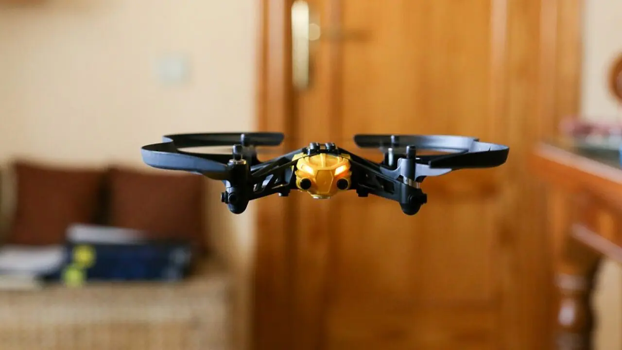
Interior Drone Aerial Footage for Real Estate Listing
$255.00 +HST
4K FPV Drone Video Flown Inside your listing!
Capture Interior drone stabilized footage incorporated into an edit or as RAW video for your editing team to utilize for an immersive experience.
We can combine exterior and interior footage for a fully completed video with branding and soundtrack.
Included:

RAW AERIAL VIDEO & PHOTOS Real Estate or Property footage
$185.00 +HST (Residential)
15 High-Definition Photos (HDR)- Plus 4 K Video
Capturing high-definition aerial video and photos -Unedited
Included:
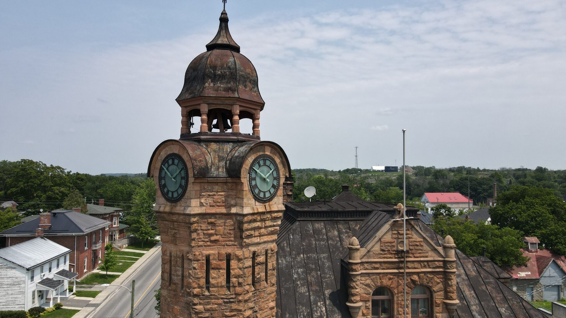
EXTERIOR AERIAL PHOTOS ONLY-Residential or Commercial Properties
$165.00 +HST
15 High-Definition Edited Photos
Let us know the angle and shots you need of the exterior of your property, structure, or land
Included:
Aerial Mapping -Photogrammetry
Digital Site Mapping - Large Properties or Construction Sites
Aerial Site Mapping with our RTK Drone System
$ Request a quote for your project
Razor Aerial Productions Inc. can provide you with a digital twin site map / model in 2 or 3-dimensional format for your project with our supporting software.
Stay informed on a project within our software where we create an interactive experience of your project(Shared view link, with stakeholders for regular updates on your project).
See real-time media embedded in the model to review specific flights and progress.
Base Price Quote on up to 50 acres, additional acreage calculated.
Request a sample output link to be shared to review.
1/2 Day Aerial Video Services
We will work with your team to capture key aerial video and photos to create a custom video for your website.
Ideal for tourism or marketing.
Contact us for a quote.
Thermal Inspections
Request a quote for a Thermal Inspection
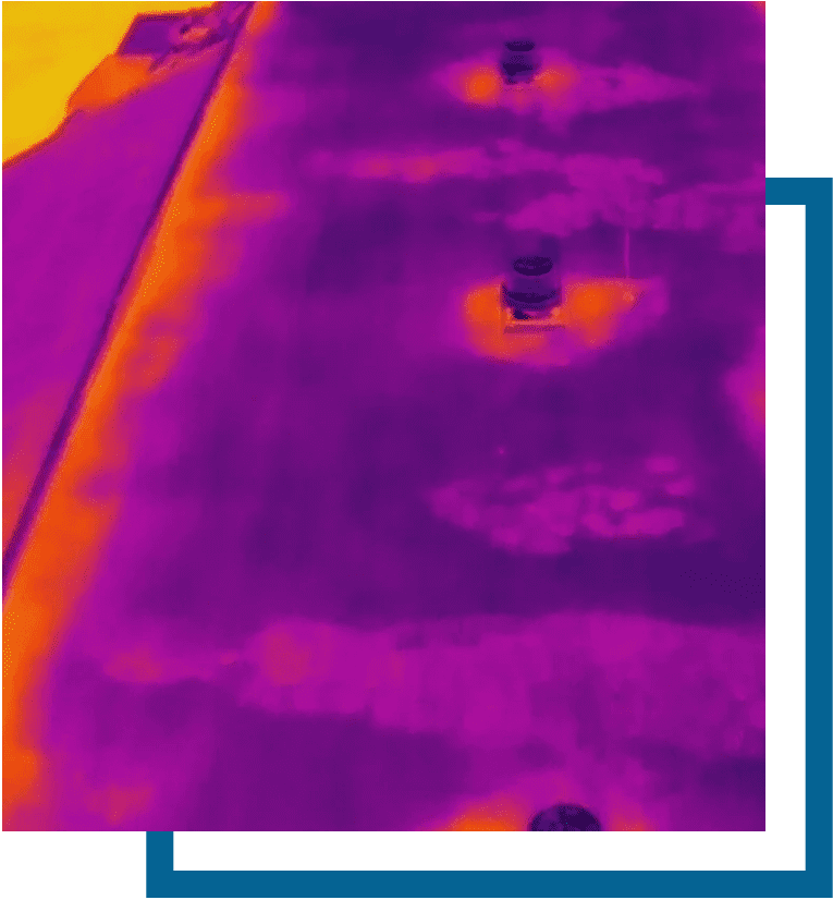
Thermal Drone Inspection
Mavic 3E Thermal Inspection Drone
We can collect the thermal images and video, and create and evaluate any heat anomalies detected - Ideal for roof inspections.
Our inspectors are Certified Level 1 sUAS IR with FLIR.
$ Quote available upon request
Additional Mileage
$0.68 per KM
Additional mileage will be calculated at $0.68 per KM beyond a 65 km round trip of Kingston, ON.
Credit Card, E Transfer, or PayPal
C$ 0.00
Razor Aerial Productions Inc. Payment is easy through direct e-transfer : [email protected]

